 AgriDeep
Limited visibility
Traditional product and traceability documents may not capture how orchard conditions evolve during the growing season.
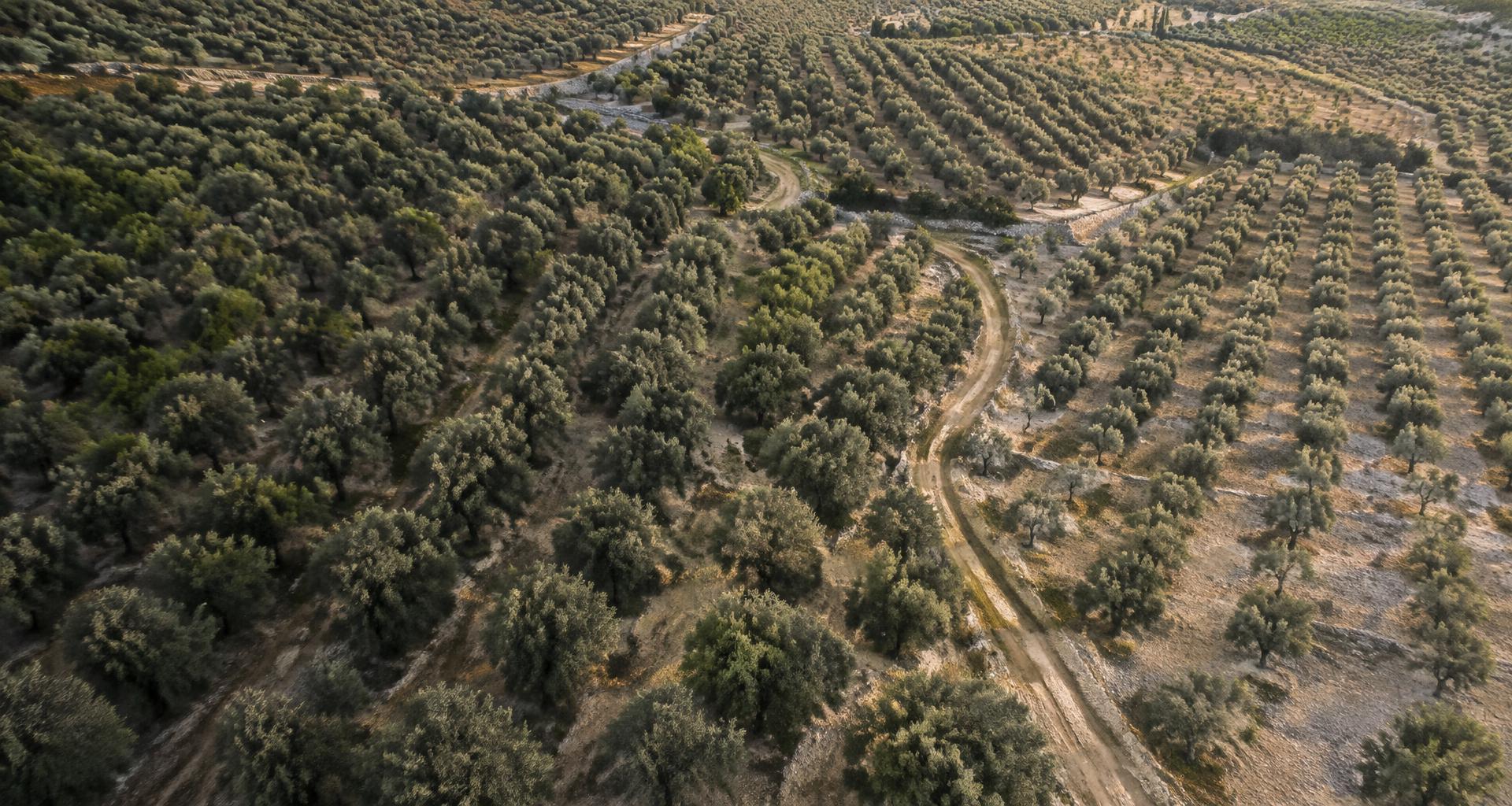
AgriDeep is exploring how satellite intelligence can help olive oil businesses monitor orchard conditions over time and build a richer picture of the origin behind their products.
Early-stage initiative · Seeking pilot partners
Built around the people behind olive oil.
A richer view of provenance starts with understanding the place where olives grow.
Traditional product and traceability documents may not capture how orchard conditions evolve during the growing season.
Producers, exporters and buyers may rely on different records to understand the origin and production context of olive oil.
Businesses need credible, understandable evidence to communicate the story behind their products to buyers.
Our proposed approach connects observations over time with a clear, documented orchard record.
Use satellite imagery to observe vegetation conditions across a selected olive grove over time.
Calculate indicators such as NDVI to explore vegetation patterns and changes between usable observations.
Organize observations, dates, maps and limitations into an understandable orchard-monitoring record.
Satellite observations complement, rather than replace, field inspections, traceability records and laboratory testing.
A glimpse of the experience we’re exploring.
Conceptual maps and data, not a live product.
Example olive grove · Seasonal observations
Illustrative data — not live satellite measurements.
Observation timeline · Illustrative season
Data quality matters. Cloud cover and image availability can affect results. Not every observation is usable; gaps and limitations would be documented.
Different perspectives. A shared interest in understanding the origin behind the product.
Document orchard conditions and add useful context to existing origin and traceability records.
Explore additional information that may help evaluate suppliers and communicate product provenance.
Explore new ways to tell a more transparent story about where olives were grown.
AgriDeep is speaking with olive oil professionals to understand their challenges before building the product. We are looking for a small number of producers, exporters and importers willing to share their experience and explore an initial pilot.
Become a Pilot PartnerAn initial discovery conversation is exploratory and does not commit either party to a commercial agreement.
Follow AgriDeep on LinkedIn to stay updated on our journey and reach out to start a conversation about olive grove monitoring.